Table of Contents
Get our free local reporting delivered straight to your inbox. No noise, no spam — just clear, independent coverage of Marblehead. Sign up for our once-a-week newsletter.
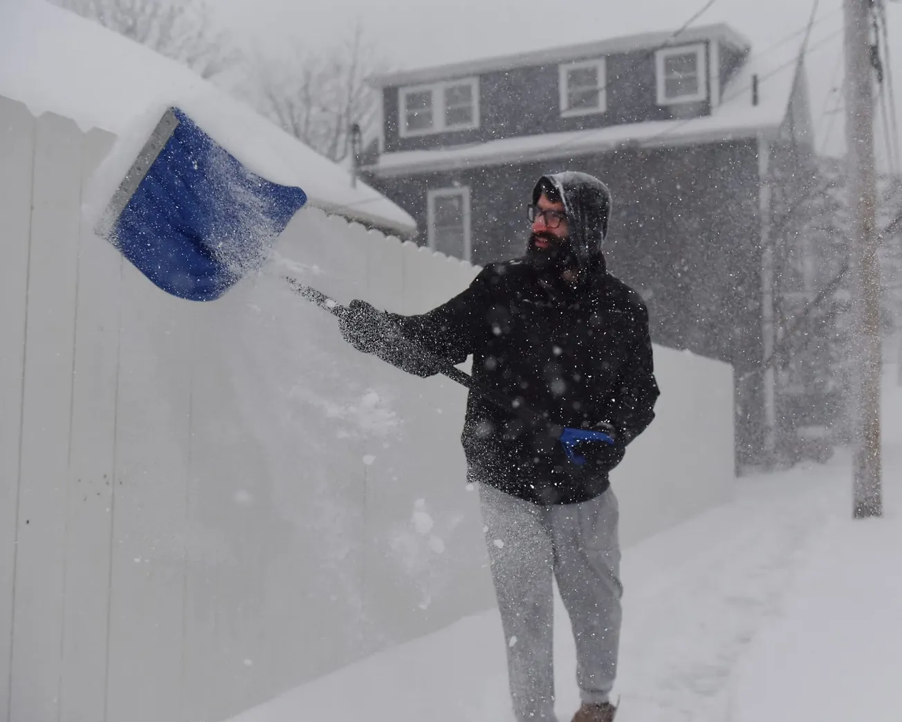
The town announced Saturday that all municipal offices and buildings will close Monday after the National Weather Service issued a blizzard warning for the North Shore, with forecasters calling for 10 to 20 inches of snow, wind gusts up to 60 mph and potentially life-threatening whiteout conditions.
The closures affect Abbot Hall, Abbot Public Library, the Jacobi Community Life Center and the Mary Alley Building. Essential public safety and emergency services, including Marblehead police, fire and Emergency Medical Services, will remain operational throughout the storm.
A snow emergency parking ban takes effect at 9 p.m. Sunday and will remain in place until road conditions are deemed safe, according to the town. Parking any vehicle, boat or trailer on a public way during the ban is illegal, and violators face ticketing or towing. Vehicles towed during the emergency will be taken to the town’s transfer station at 5 Woodfin Terrace or to 171 Boston St. in Salem by Todisco Towing. Residents who believe their vehicle has been towed should call the Marblehead Police Department at 781-631-1212.
The blizzard warning, which upgrades a previously issued winter storm watch, takes effect at 4 p.m. Sunday and runs through 7 a.m. Tuesday. The weather service’s Boston office forecast 19 to 20 inches for the greater Boston area, including Marblehead, making it what could become the fourth significant snow event to hit the town in less than two months.
The heaviest snow is expected to arrive after 10 p.m. Sunday and continue into Monday afternoon, with snowfall rates exceeding two inches per hour during the storm’s peak. Both the Monday morning and evening commutes fall within the warning window, and the weather service urged residents to restrict travel to emergencies only. Visibility could drop below one-quarter mile due to falling and blowing snow.
Northeast wind gusts of 40 to 60 mph are forecast across eastern Massachusetts and Rhode Island, raising the risk of downed tree limbs and power lines. The weather service said power outages are possible across the region.
Marblehead’s coastline faces an additional threat. The weather service issued a coastal flood watch for eastern Essex County from late Sunday night through Tuesday morning, warning that low-lying areas near shorelines and tidal waterways could see one to two feet of inundation above ground level. Nearby Gloucester Harbor is forecast to reach minor flood stage during the Monday morning high tide cycle, with wave heights of 8 to 13 feet. Forecasters warned residents not to drive around barricades or through water of unknown depth.
The town urged residents to take precautions before the storm arrives, including clearing house numbers of snow so first responders can locate addresses, having flashlights and battery-powered lighting ready in case of power outages, and checking on neighbors who may need help. Officials warned against using candles during outages and said generators should be operated outdoors, away from windows and doors. Portable heaters should be turned off when leaving a room or going to bed, and residents should stay at least three feet from any emergency heat source.
Conditions Saturday afternoon were calm ahead of the storm. The Beverly Municipal Airport reported overcast skies, a temperature of 27 degrees and light northeast winds of 7 mph. The storm is expected to clear by Tuesday, with partly cloudy skies and highs in the lower 30s, though another chance of snow and rain returns Wednesday.
Residents can find updates on the town website at marbleheadma.gov or through police and fire social media pages.


