Table of Contents
Get our free local reporting delivered straight to your inbox. No noise, no spam — just clear, independent coverage of Marblehead. Sign up for our once-a-week newsletter.
The crowd that filled Abbot Hall’s rotunda just before 10 a.m. Saturday, Nov. 7, came dressed for the weather: yellow and red slickers, hoods cinched tight, umbrellas tucked under arms. People collected handouts beside two brass bells from cruisers named USS Marblehead, where a taped-on sign offered a digital map of the route.
Outside, light rain and mist hung over the harbor. Beverly Regional Airport, the nearest weather station, recorded about 55 degrees all morning, a day after Boston set a daily rainfall record.
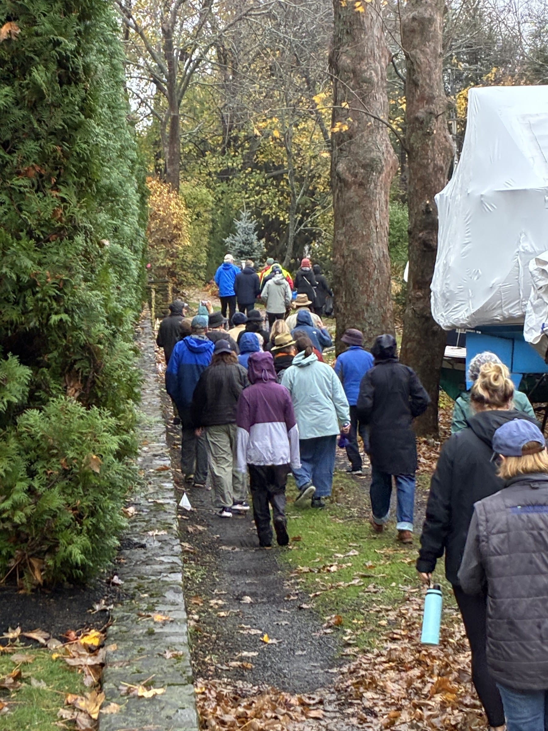
They had come for Marblehead’s annual perambulation, a walk over the town’s historic public ways, the narrow alleys, stone stairways and grassy lanes that slip between private homes but belong to the public.
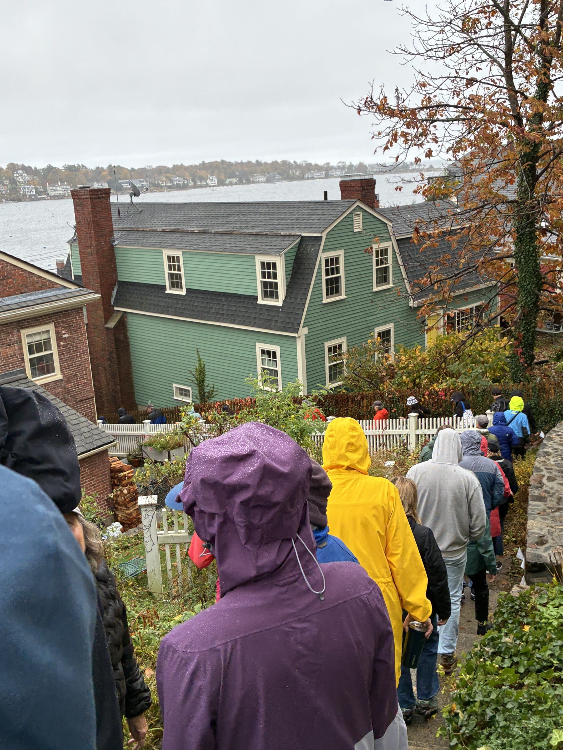
Town Historian Don Doliber told walkers the passages are walked to protect the town’s legal claim to them and asked anyone who spotted a blockage to report it to the Select Board’s Office. Pam Evans, who photographed the walk, said she could hear little over the crowd but caught Doliber stressing the influence of water and wind on the town.
Steps above the harbor
Lookout Court, near Abbot Hall, looks like a street, but the town lists it as foot traffic only. It narrows to stone steps called Prospect Alley, which drop between houses to Lee Street.
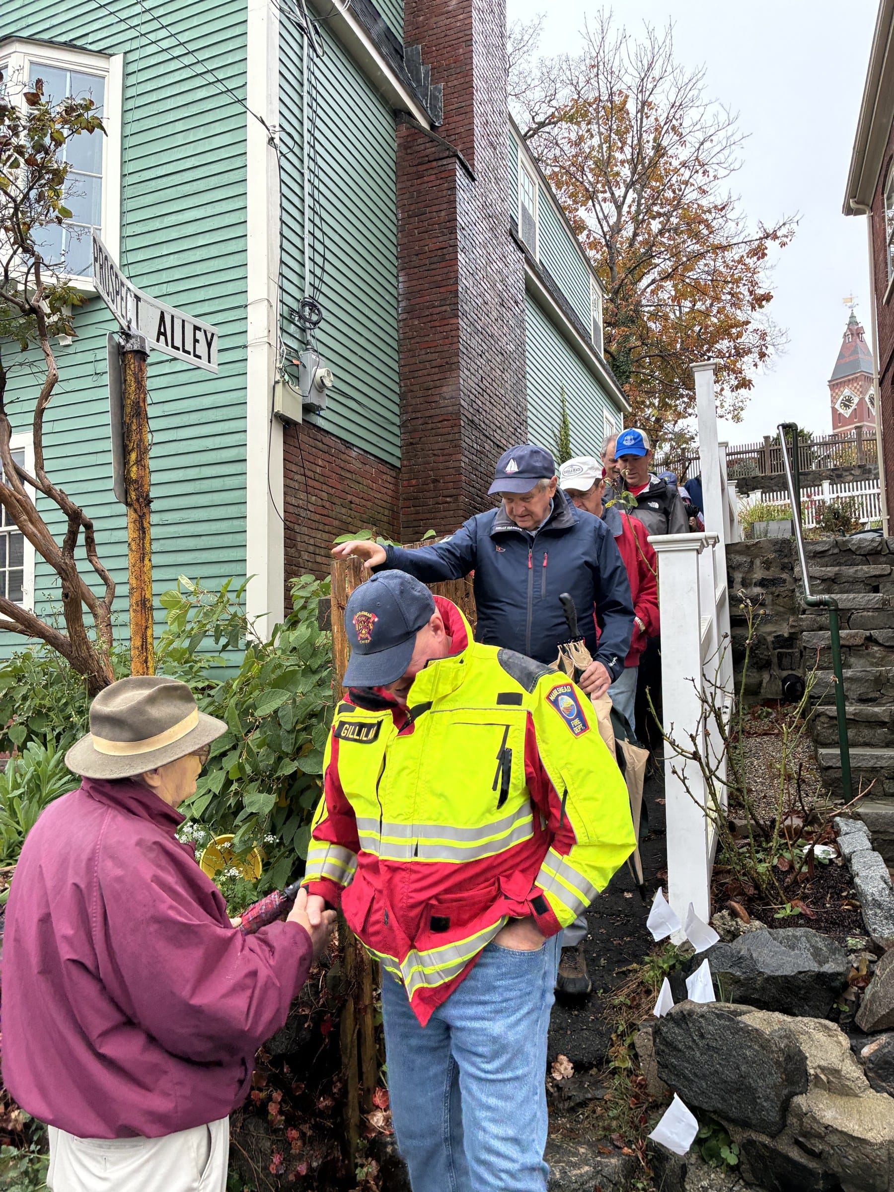
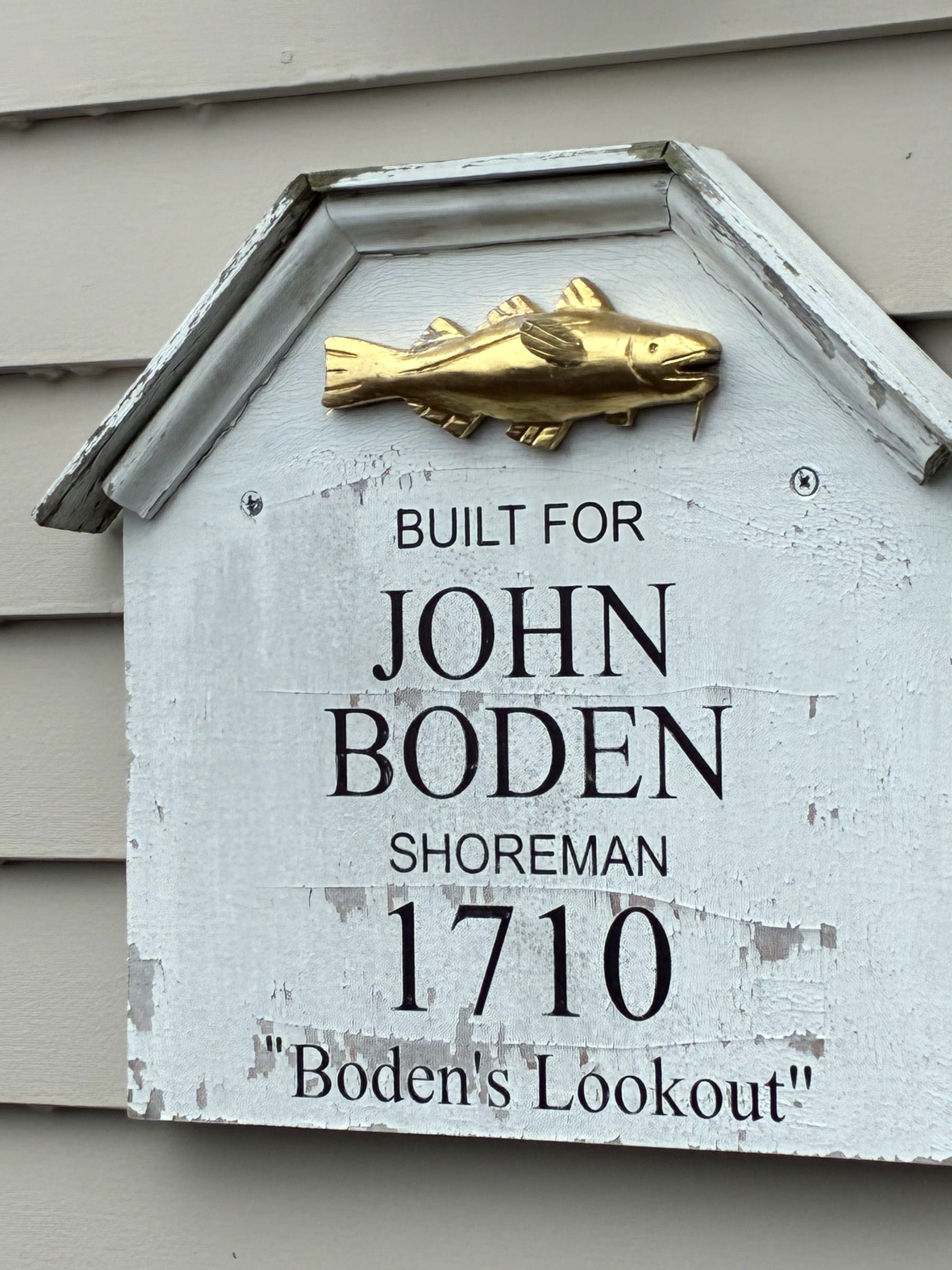
Soon a line of hoods was filing down those steps toward gray water and the far shore of Marblehead Neck. Nearby, a weathered plaque topped with a gilded codfish marks a house built in 1710 for John Boden, shoreman, and known as “Boden’s Lookout.” At the foot of the alley, Doliber greeted walkers, Fire Chief Jason Gilliland among them, with the Abbot Hall clock tower rising behind.
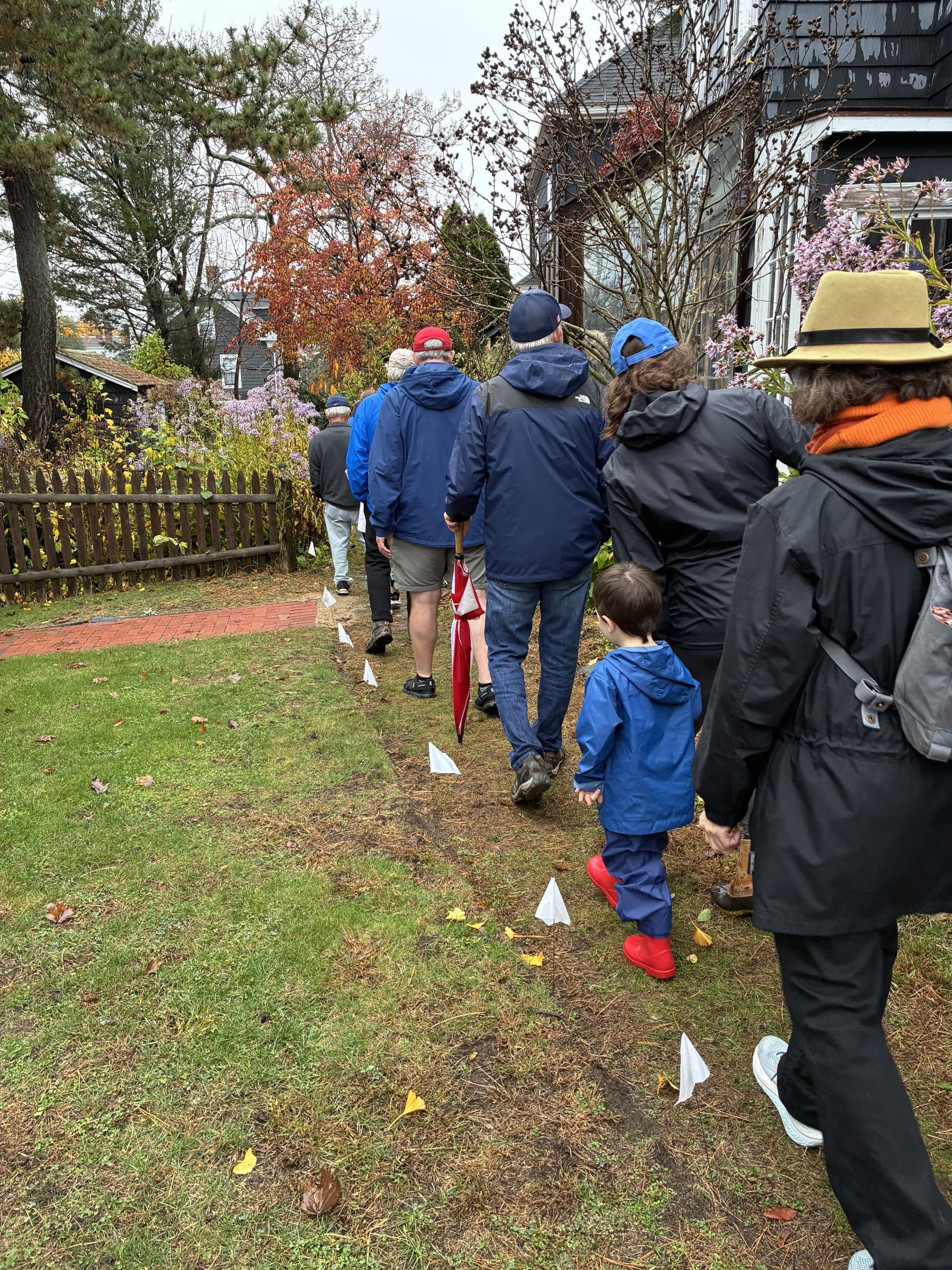
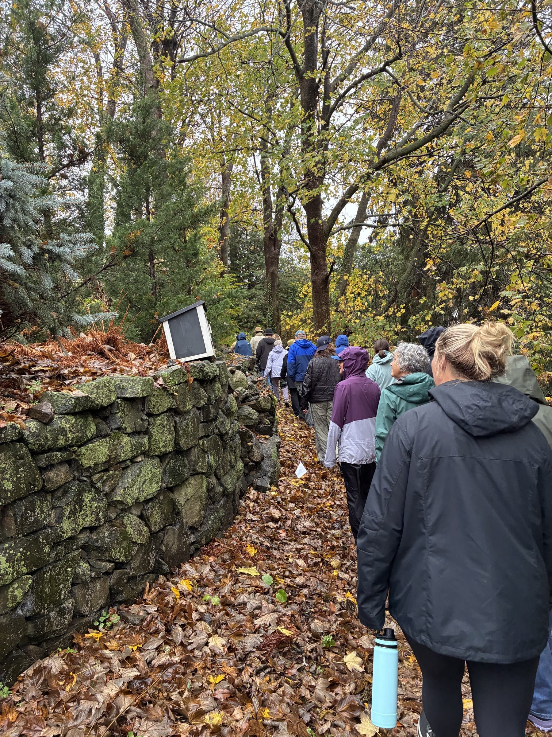
Later the crowd regrouped at Circle Street, the access point for Hollyhock Lane, a flagstone path that hugs a house before turning into a grassy lane. Minutes later, walkers, including a small child in red rain boots, followed a row of white paper markers across a grassy strip beside a lawn. Farther along, the group was on leaf-strewn dirt paths, passing a shrink-wrapped boat and a mossy stone wall.
The itinerary also listed the Alley Steps, Gingerbread Lane, Knight’s Hill Road, an alley between Elm and High streets and an alley from Mechanic Street to Market Square. Organizers estimated 90 minutes and just over 2 miles, with participants splitting up to cover assigned routes.
Fish flakes and footpaths
The ways date to Marblehead’s 17th- and 18th-century fishing economy, when residents needed direct routes over steep, rocky ground between home, harbor and the fish flakes, the wooden racks where salted cod dried. Fishermen climbed the Alley Steps, steep granite stairs between 11 and 15 Washington St., to reach their flakes, according to the town and the Marblehead Conservancy.
Many such paths vanished as land changed hands. The town counts 18 still open: eight downtown and 10 on the Neck.
Several look private. The town’s description of the Elm Street-to-High Street alley notes abutters store boats along it and park cars at its High Street end. Walking the routes reminds residents they can use them and lets officials spot obstructions and wear.
Beating the bounds
Perambulation descends from the English custom of “beating the bounds,” in which parishioners walked their borders to fix them in memory. Massachusetts law still requires at least two selectmen or their designees to locate and remark a town’s boundary markers every five years. That statute covers town lines, not interior paths; Marblehead’s public-ways walk is a local custom in the same spirit.
The Conservancy organized the walks for years before stepping back, and the town took them over, Town Administrator Thatcher Kezer told the Select Board in December 2023. The downtown walk drew more than 200 people before the pandemic, Town Engineer Maggie Wheeler said in October. The town now alternates between downtown and the Neck.
The Select Board authorized this year’s walk Oct. 14. Kezer coordinated it with Doliber, Wheeler presented the route, and Select Board member Rossana Ferrante was among the officials on hand.
The Neck’s 10 ways are next in the rotation. Evans is already looking forward.
“People should know about it and enjoy the little alleys!” she wrote in a text message.
BEFORE YOU GO … Our reporting remains free and open to all. It is sustained by readers who choose to support it — by contributing so that routine, document-based local reporting continues without paywalls or promotional framing. Right now, 133 readers support The Marblehead Independent with monthly or annual contributions. Click here to become an Independent member.